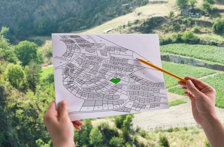
The purpose of this project is to create a visual tool that shows where wildlife habitats are and how they connect across a landscape. It will highlight areas that are rich in biodiversity, areas in need of restoration, and natural corridors - like hedgerows - that allow animals and plants to move and thrive. This will help guide planning, conservation, and land-use decisions to protect and rebuild a healthy, connected natural environment.
The aim of the map is also to encourage landowners to manage their land in a biodiversity-positive way. The map will recognise and celebrate those that do, and provide advice to those that wish to have their land parcel acknowledged on the map. This will be achieved through a questionnaire system, where minimum requirements must be met.
This project will be developed in partnership with Digimap Guernsey.